Interpretation is fun!


Solutions: PUBLIC LANDS PUZZLE 

Spoiler Alert:  These are the answers to my recently launched "Public Lands Puzzles" series: Word puzzles naming our nation's vast and beautiful public lands. To get next month's installment, just drop me an email.

Uh-oh. Are you stumped?  Find the answers to Public Lands Puzzle here:

Okefenokee National Wildlife Refuge, Folkston, Georgia 

Scrambled: KKOOEEEENF ANNOLIAT FELLIDWI FREGUE

Known to early Indian tribes as “The Land of the Trembling Earth,” the Okefenokee is a vast cypress swamp (actually a type of peat bog) on the Georgia-Florida line. Think alligators -- lots of alligators.  My favorite adventure there:  Watching a family of sandhill cranes step delicately through the wetlands. The baby was still young and clumsy on long unsteady legs, like a foal.  He kept falling down in the muck. See samples of our work on the visitor center. 

MORE PUZZLE SOLUTIONS - CLICK HERE


Washington Monument Repairs 

 When's the last time you looked out over Washington, D.C., from the top of the Washington Monument? Try it again this spring, when this iconic landmark reopens, with earthquake repairs and new exhibits planned by a team including yours truly.  READ MORE

Nature's Navigators 

Every time I work on interpretive panels for another National Wildlife Refuge, I am astonished – again! – by the incredible journeys made by millions of birds every year. Read more... 

Traveling El Camino Real

Thanks to funding from the FHWA National Scenic Byways program, we have a great assignment this fall: creating interpretive signs for a section of El Camino Real de Tierra Adentro National Historic Trail in Santa Fe, NM.  Read More... 


Atlanta: City in a Forest

How does a fast-growing city keep its trees? Just ask Trees Atlanta – a non-profit dedicated to protecting existing trees and planting new ones throughout metro ATL. 

GIG just finished TA's new signage! Read more...


Swimming, Anyone?

A lone lifeguard chair remains at Horseshoe Bend Beach in Montana's Bighorn Canyon National Recreation Area. 

I'm spending most of a Georgia January daydreaming of faraway places-- Read More


Friday
Apr272012

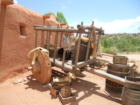
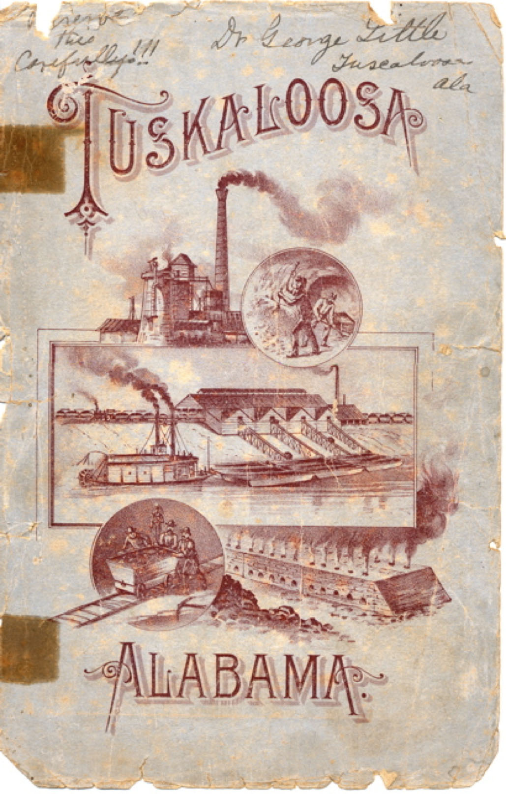
Tuscaloosa Transportation Museum (Black Warrior River)

Locking a River 1884-1918

Beginning in 1884, the whitewater rapids, sparkling shoals, and free-flowing waters of the Black Warrior River were “tamed” for easier navigation. 

   Over the next 30 years, the U.S. Army Corps of Engineers built a total of 17 locks and dams on the length of the Black Warrior.  The dams created many miles of deep water, and the locks enabled ships to float gently upward or downward to “lock through” former shoals and waterfalls. 

   The rocky outcroppings of the river’s natural fall line were submerged under the newly configured river.   Pre-lock river ecology was swept away.   

[bottom of column, like an old-fashioned railroad timetable]

TUSCALOOSA TIME-TABLE

  • 1884:  The federal Rivers and Harbors Act appropriates $50,000 to work on a 14-mile section of the river from Tuscaloosa to Daniels Creek; the Army Corps designs three locks and dams.   
  • 1887:  The Tuscaloosa Coal, Iron & Land Company forms to capture and market the region’s prime natural resources.
  • 1888:  The Army Corps begins building the first lock at Tuscaloosa.
  • 1890:  The city gets its first electric lights.
  • 1896:  The first commercial tugboat and coal barge steamboat pass through Tuscaloosa’s three new locks.
  • 1899:  Central Iron & Foundry forms near Holt to produce pig iron and other products. 
  • 1903:  The Empire Coke Plant fires up to supply coke for Holt’s blast furnaces.
  • 1916:  Happy Birthday to our town!!  Tuscaloosa is 100 years old!

The U.S. Army Corps of Engineers

Created by Congress in 1802, the U.S. Army Corps of Engineers is the nation’s engineering design firm:  Corps engineers design military and civil projects ranging from the Washington Monument to military bases, lighthouses, levees, bridges, and dams.  

In Alabama, the federal engineers arrived in the 1870s with plans to clear snags, build temporary dams, and dredge and deepen river bottoms.  The goal:  To open up waterways reaching rich inland resources of coal, iron ore, kaolin, and other industrial materials….and get these valuable industrial materials to coastal ports.